India Outline Map HD
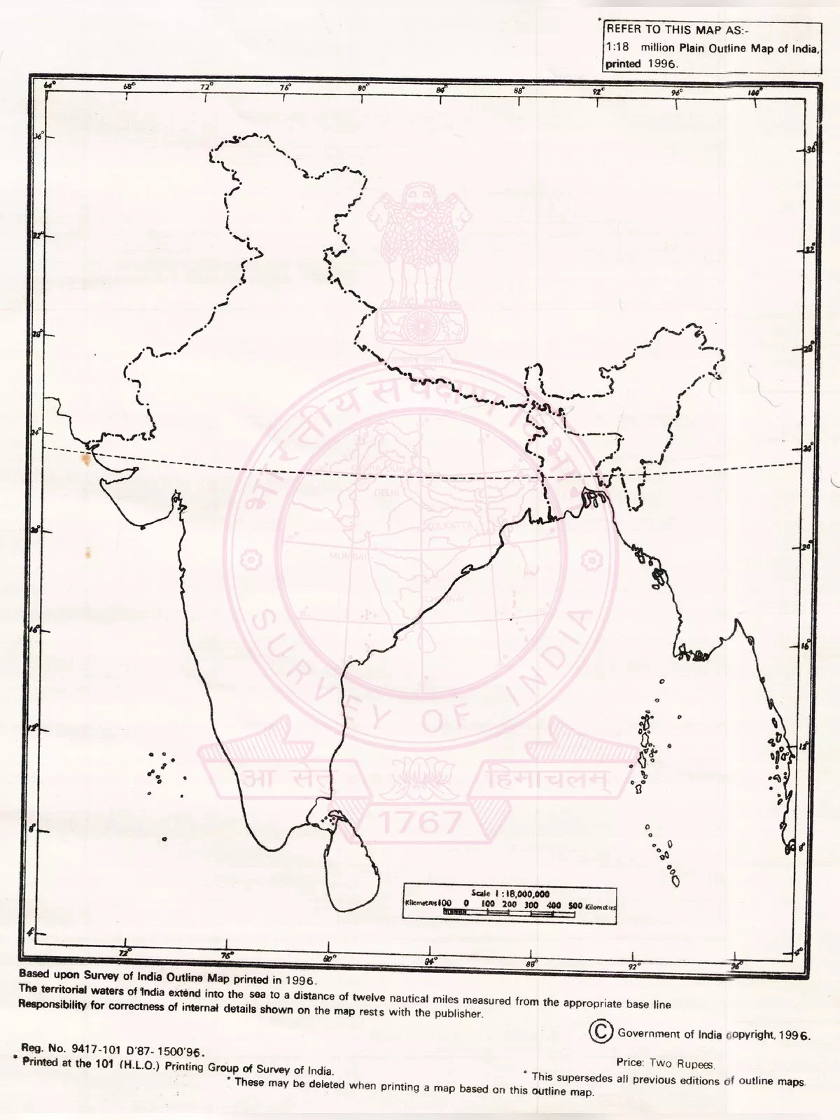
The India Outline Map PDF is a valuable resource that helps you explore the boundaries of all the states in the country. This map is ideal for geography students who want to learn about the different states in India and their frontiers. You can find both online and offline versions of blank outline maps of India. The offline version is a printable outline map perfect for educational activities.
Understanding India’s Geography
India is a republic composed of 28 states and eight union territories. The nation’s economy is quite diversified, consisting of sectors like traditional rural farming, modern agriculture, handicrafts, and various industries. India is the second-largest country in Asia and shares its international borders with neighboring countries like Burma, Bangladesh, China, Bhutan, Pakistan, and Nepal.
Features of the India Outline Map
One major benefit of using a blank outline map of India is its ability to showcase the international boundaries with neighboring countries such as Bangladesh, Pakistan, China, Nepal, Burma, and Bhutan. The map also provides a view of the Bay of Bengal, Indian Ocean, and Arabian Sea bordering the southern edge of India.
All the states and territories of India can be categorized into the following zones:
- South Zone
- North Zone
- West Zone
- East Zone
- North East Zone
- Central Zone
You can easily download the India Outline Map PDF using the link provided at the bottom of this page. Don’t miss out on this helpful tool for your studies!