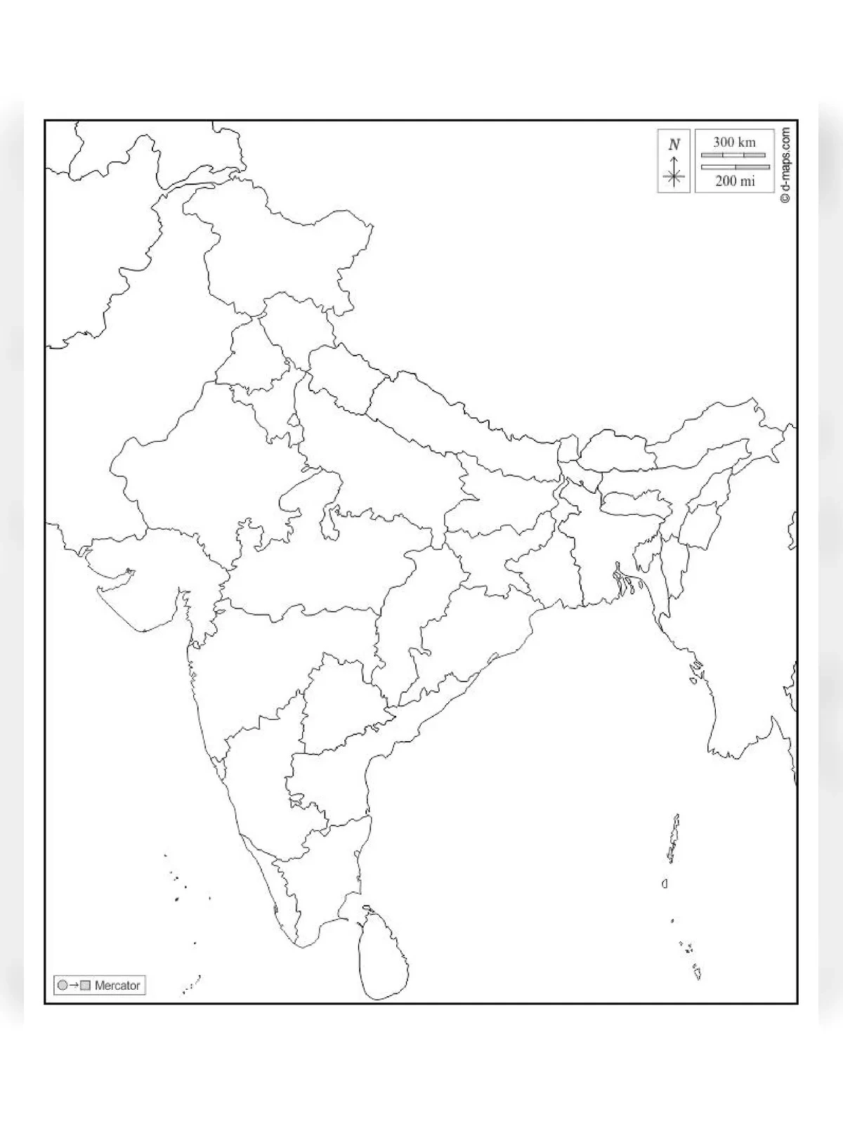
Blank Political Map of India for Practice
Discover the Blank Political Map of India, a fundamental resource for understanding India’s division into 29 states and 7 union territories. Each state operates with its own elected government to manage local administrative tasks. India prides itself on being a democratic nation with a parliamentary system. The legal framework of the country is rooted in the Constitution of India.
Understanding India’s Geography
India spans 3,214 km from North to South and 2,433 km from West to East, with a total frontier length of 15,200 km. The geographical coordinates of India range from Latitude 8°4′ to 37°6′ and Longitude 68°7′ to 97°25′. The northernmost point is Indra Col (Siachen), while the southernmost point is Indra Point (Nicobar Islands). The westernmost point is Guhar Moti (Sir Creek, Gujarat), and the easternmost point is Kibitz (Andhra Pradesh).
Blank Political Map of India – Overview
| File Name | Blank Political Map of India |
| Uses | For Students and Others |
| Country Map | India |
| Issued by | Indian Government |
| Official Website | surveyofindia.gov.in |
India is home to 12 major ports and 185 minor ports. Major ports are managed by the central government, whereas minor ports fall under state government authorities. Notable major ports include Kandla (Gujarat), Mumbai (Maharashtra), Jawahar Lal Nehru Port, Navi Mumbai (Maharashtra), New Mangalore Port (Karnataka), Kochi Port (Kerala), Tuticorin Port (Tamil Nadu), Chennai Port (Tamil Nadu), Visakhapatnam Port (Andhra Pradesh), Paradeep (Odisha), Haldia (West Bengal), Kolkata Port (West Bengal), and Ennore Port (Tamil Nadu).
You can download the Blank Political Map of India PDF using the link given below.