Physical Map of India Blank Printable
If you’re looking for a Physical Map of India Blank Printable for your studies, you’re in the right place! This map is perfect for anyone wanting to learn about India’s borders. It is available for free download, and you can easily print it out to use whenever you need. Whether for school geography lessons or self-study at home, this map serves as a great resource for various geographical activities.
Why Use a Blank Map of India?
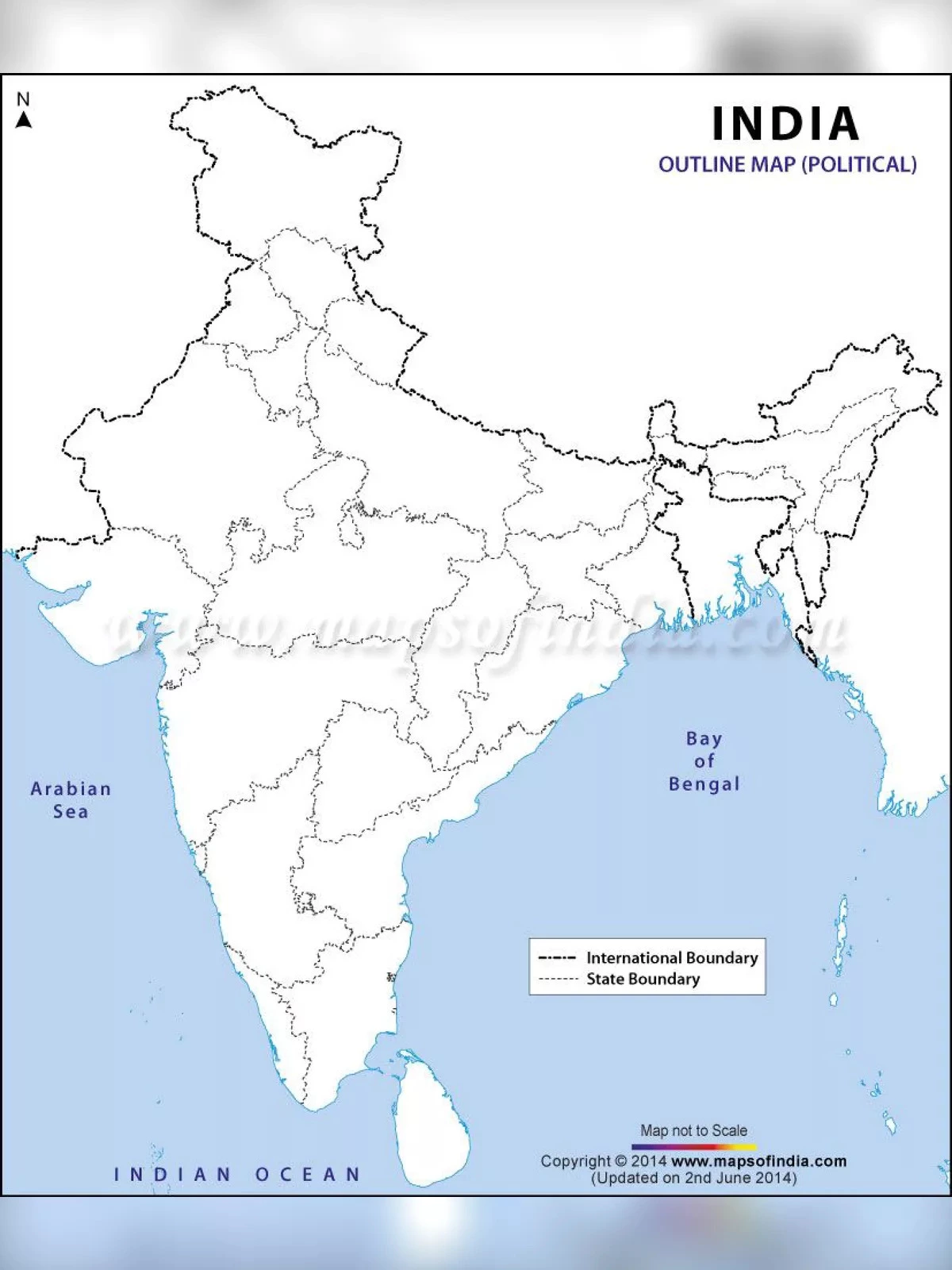
A blank outline map of India can be utilized for many educational purposes. This printable map displays the basic structural lines of the nation. The regions where India shares international borders are highlighted a bit darker, making them easier to identify. Parents can help children learn how to label this blank map with physical and political features. They can also let kids colour the map in any way they like, which will help them learn and remember the country’s international boundaries better.
Physical Map of India Blank Printable
India is one of the largest countries in the world, both in terms of geographical area and population. It ranks as the second most populous country and the seventh largest by geographical size globally. India shares international borders with China, Bhutan, Bangladesh, Pakistan, Burma, and Nepal. It is divided into 28 states and 8 union territories and is surrounded by water on three sides: the Arabian Sea to the west, the Bay of Bengal to the east, and the Indian Ocean to the south.
You can download the Physical Map of India Blank Printable PDF using the link given below.