India Blank Map
India Blank Map PDF serves as an essential tool for identifying the boundaries of all the states in the country. It is an ideal resource for geography students who want to learn about the various states in India along with their borders. India is a republic comprised of 28 states and eight union territories. The economy of our nation is quite diverse, incorporating industries such as traditional farming, modern agriculture, handicrafts, various current industries, and many more.
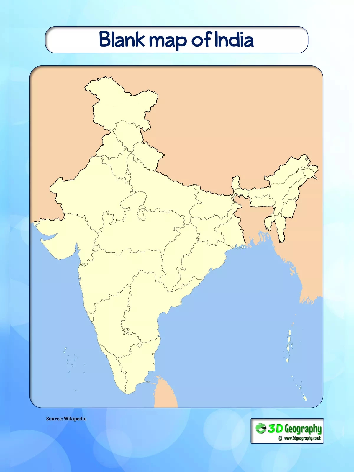
Understanding the India Blank Map
The blank map of India displays the country in its empty form. This India Blank Map allows you to use the map for personal activities or educational purposes, especially with children, like drawing and marking locations. India ranks as the seventh-largest country globally in terms of geographical area. It is also the second-largest country in Asia and shares its international borders with countries such as Burma, Bangladesh, China, Bhutan, Pakistan, and Nepal. Its total area is an impressive 3,287,240 sq km, while the coastline stretches over 7,517 km, bordered by the Arabian Sea, Bay of Bengal, and the Indian Ocean.
India Blank Map Zone Wise
All the states and territories of the country can be categorized into the following zones:
- South Zone
- North Zone
- West Zone
- East Zone
- North East Zone
- Central Zone
A Blank Map Of India provides plenty of geographic information about the country, allowing users to add extra details and better understand the relationship between different regions. It primarily shows the borders of the country. A Physical Blank Indian Map offers basic information about a region’s layout. The outline map of India shown above can be used for various purposes, clearly displaying the structural lines of the country.
The outline map of India below is a blank India map that highlights all the state boundaries. This India Outline Map is perfect for teaching children about the states of India and their respective borders. You can easily download the printable India blank and outline map for school and classroom teaching as a free PDF.
You can download the India Blank Map PDF using the link provided below.