Peripheral Ring Road Bangalore Villages List Map
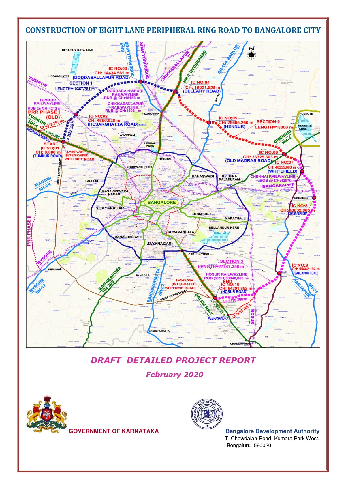
The Peripheral Ring Road (PRR) project is a significant infrastructural development in Bangalore, aimed at decongesting the city’s traffic and providing a seamless connection around the city’s outskirts. The project is planned to connect Tumkur Road to Hosur Road, passing through several villages and suburban areas.
Peripheral Ring Road Bangalore Villages List
Here’s a list of some villages affected by the Peripheral Ring Road (PRR) project:
- Chikkajala
- Byatarayanapura
- Nagavara
- Doddagubbi
- Hunasamaranahalli
- Kyalasanahalli
- Doddenakundi
- Varthur
- Bellandur
- Sarjapur
- Bommenahalli
- Sompura
- Jigani
- Hulimangala
These villages are part of the planned route for the PRR, which is intended to ease traffic congestion and improve connectivity between major highways such as Tumkur Road, Mysore Road, and Old Madras Road.
The project has faced several delays due to land acquisition and environmental concerns, but once completed, it will play a crucial role in the overall infrastructure development of Bangalore.