Class 10 Map Book
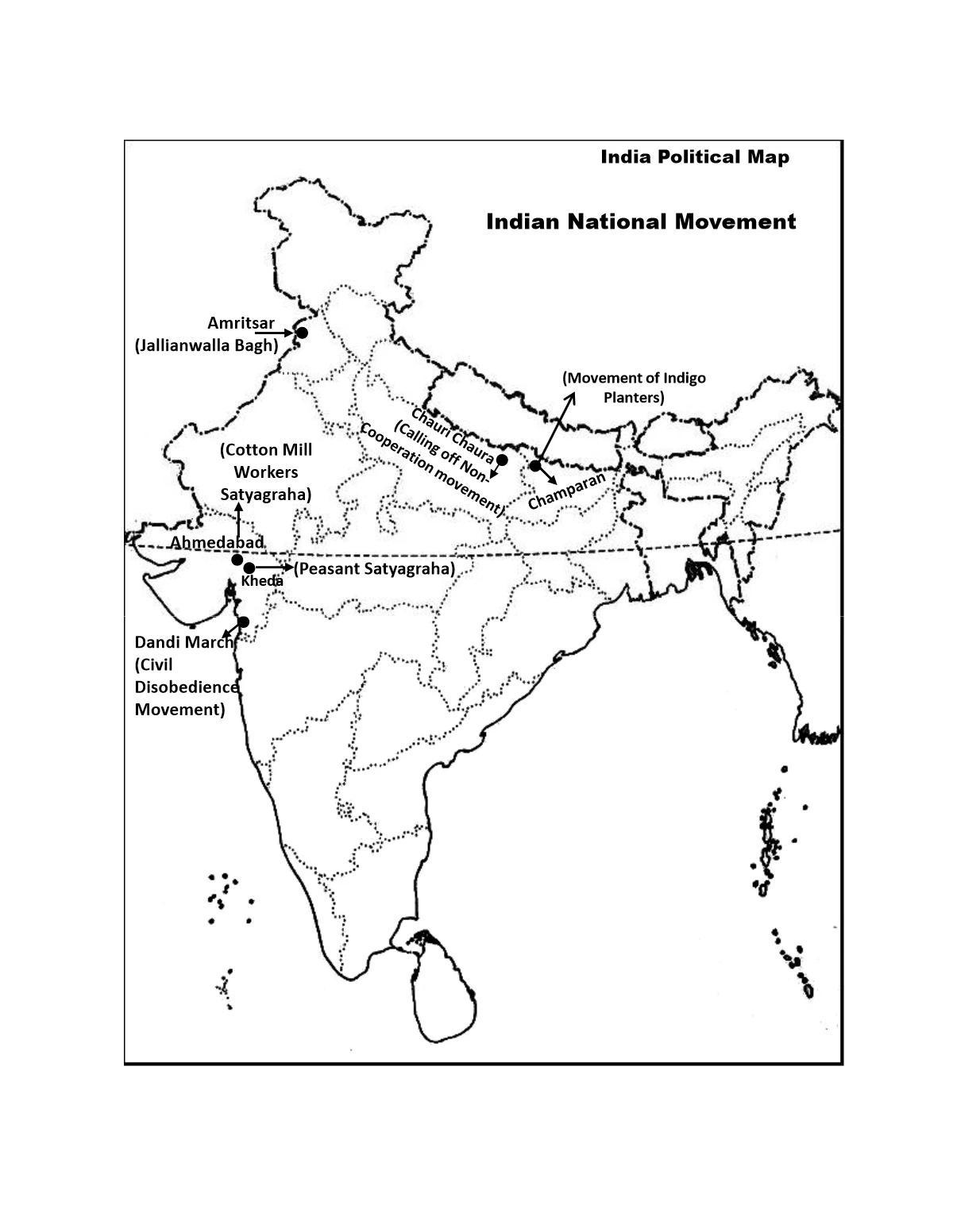
Class 10 Map Books are designed to help students understand various aspects of geography, such as political boundaries, physical features, population distribution, and more.
These maps show the borders between countries, states, or other administrative divisions. They often include names of countries, capitals, and major cities. Some maps show economic activities such as agriculture, industry, mining, and tourism. These help students understand how human activities vary across different regions.
Class 10 maps serve as important educational tools for students to develop their spatial awareness, understanding of geographic concepts, and critical thinking skills. These maps focus on specific themes such as agriculture, population growth, or land use. They provide in-depth analysis on particular aspects of geography.